Scenes of Kingsburg from Half a Century Ago
Photographs of the Village Taken by Lunenburg Residents Joseph and Tela Purcell in the late 1950s to early 1970s
by Carole-Anne Mosher - History Committee Chair, 2021
My first introduction to Mr. John Newton was when he reached out to our website of the KCA when I asked if anyone had pictures of the fish stores on Kingsburg Beach to share with our history committee. I was given the email he sent and responded to him directly.
I was told by Mr. Newton that he was the son-in-law of my good friends, the world renowned artists from the Lunenburg area, Joseph and Tela Purcell. Many many years ago when I walked the Kingsburg Beach on a regular basis, I would see the Purcells drawing or taking pictures and always stopped to chat with them. They knew our family as we belonged to the same church in Lunenburg of St. Norbert’s where we were all regular Sunday participants. I have very fond memories of Tela’s artistic talents, for on special occasions she would decorate our church for Thanksgiving, Easter, and Christmas etc.
A Purcell family storefront on Lincoln Street in Lunenburg still exists today.
I continued reaching out to John Newton and he provided me with the Purcell Family collection of early Kingsburg vintage pictures of which we are forever grateful for permission to use on our website.
Locations identified and annotated by the Kingsburg Community Association’s History Committee members Carole-Anne Mosher and Cameron Pulsifer, 2026
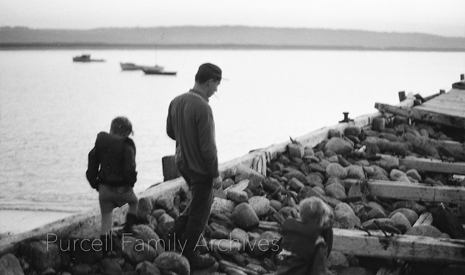
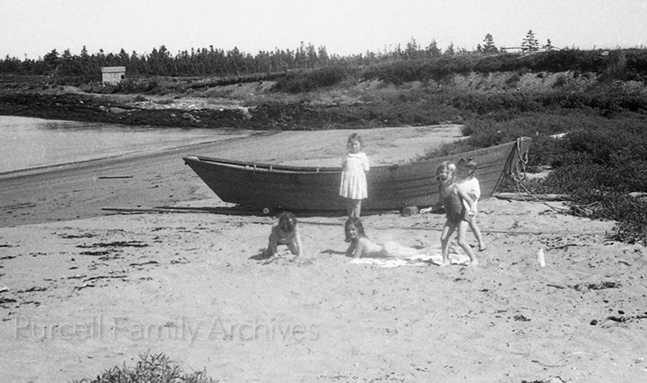
As noted above by long-time Kingsburg resident Carole-Anne Mosher, half a century ago, Joseph and Tyla Purcell were artists and photographers living in Lunenburg. Indeed, a shop bearing their family name still exists at 217 Lincoln Street. They were attracted to Kingsburg where they spent a good deal of time roaming about the community, photographing local scenes. Carole-Anne recalls that as a teenager she often met them on their visits, often chatting with them as they pursued their work. She retains warm recollections of them.
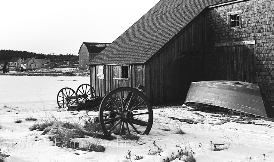
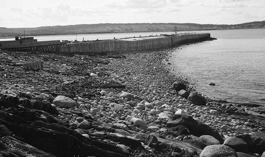
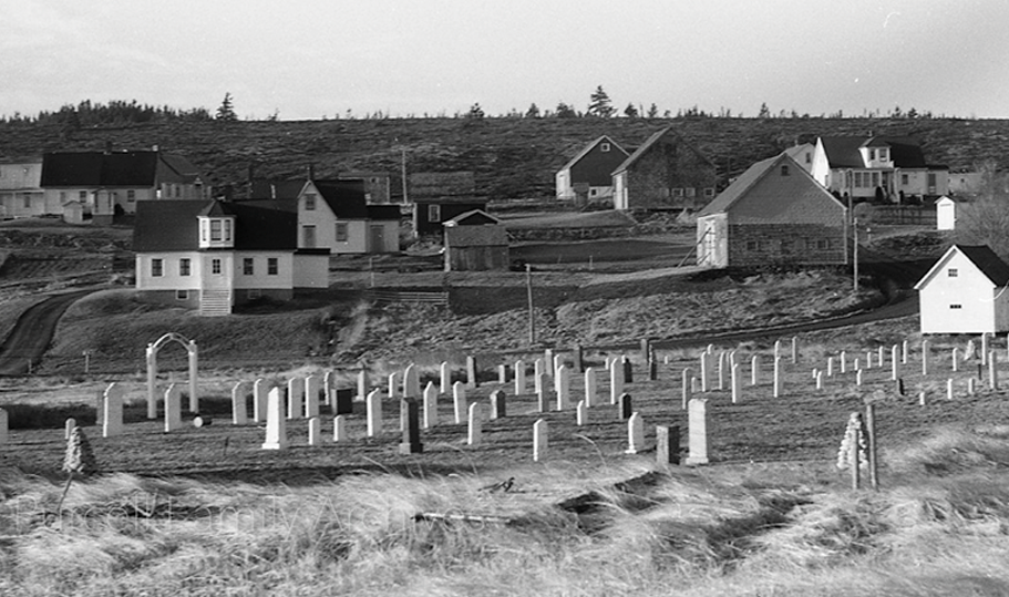
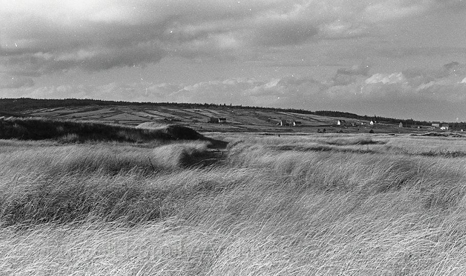
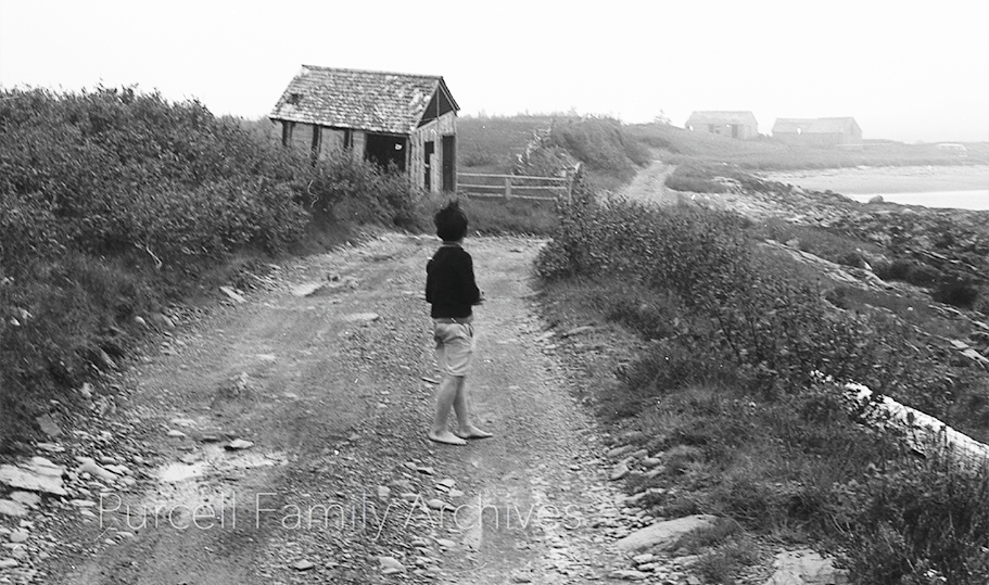
These photographs constitute an important documentation of Kingsburg and its surrounding area at a time just before it was to undergo a radical transformation. They show Kingsburg when it was still a working village, its residents for the most part earning their livings from the resources of the immediate area, most notably the sea, agriculture, and some hunting. The well-kept houses shown remained occupied by families whose ancestors had lived in them for generations. Some, including Carole-Anne’s family, could claim descent from the earliest ‘German Protestant’ settlers of the mid-18th century. By the later 1970s, however, the natural attractions of the Kingsburg were making it increasingly enticing as a spot for people looking for a quiet get-away, initially, along Kingsburg Beach and at Hell Point, as local historian David Mossman points out in his book The Legend of Gladee’s Canteen (Lawrence Town Beach: Pottersfield Press, 2019), 160. (Despite its title this book contains much useful information on the history of Kingsburg generally.)
At the same time changes were afoot that were undermining the sustainability of the old community. The fishing resource, by far the economic mainstay of the community, had begun a serious decline due to overfishing, leading ultimately, in 1994, to a government-imposed moratorium in the area on the catching of ground fish (cod, haddock, flounder, halibut, pollock etc.) This came on top of an earlier disaster when, in 1982, the Large Ritcey Bros seafood packing plant in Riverport, which employed many Kingsburgians, burned to the ground, to be replaced by a much smaller facility. The many decaying barns and fish stores in the outlying areas shown in the photographs could well testify to an even longer period of economic distress in the area. Such developments increasingly led many of the of the original Kingsburg inhabitants to sell their properties to people from outside the village looking for residential and, increasingly, vacation homes in this quiet and beautiful location. This trend continued to the extent that today there are hardly any of the original families left (Carole-Anne Mosher’s being one of the few still here).
From the 1990s, such home seekers have moved on from buying older Kingsburg properties to building new ones in areas that in older Kingsburg times were mostly empty, such as Beach Hill and Rose Head. The former, writes David Mossman, served little more than “a huge sheep paddock complete with indistinctly evident long narrow lots. (”Gladee’s Canteen, 164) The latter was used by villagers mostly for hunting and wood-cutting. Since the 1990s new builds have increasingly burgeoned in both areas. The Purcell photographs show us some of the Kingsburg of old that preceded the community of today. The present community resides in an area with a rich history of which, the Kingsburg Community Association’s History Committee hopes, residents will want to be familiar. It was with this aim in mind that members of this committee decided to identify and locate what these Purcell family photographs actually show. This is in keeping with the ongoing aim of the committee, which is to help ensure that accurate memories of previous times are preserved. It is committed to ensuring that Kingsburg’s rich history continues to be researched and documented so that present and future residents of Kingsburg can have reference to the rich history of the community that thrived here before they arrived.
The information in the following captions is derived from three major sources. 1. The above mentioned Gladee’s Canteen, by David Mossman. 2. The remarkable manuscript put together by are longtime Kingsburg resident, Edith Knock, age 86, in 1975, “A Short Outline of Properties of Lower Kingsburg,” available on the Kingsburg Community Association’s website at: “Outline of Properties at Lower Kingsburg Booklet.” 3. The recollections of Carole -Anne Mosher, a prominent Kingsburg resident since the 1960s. Anyone who disagrees with the identifications made or has new information is encouraged to be in touch – Cameron Pulsifer History Committee, KCA, 2025
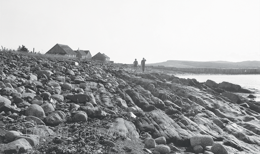
PHOTO 1 -
PHOTO 2 -
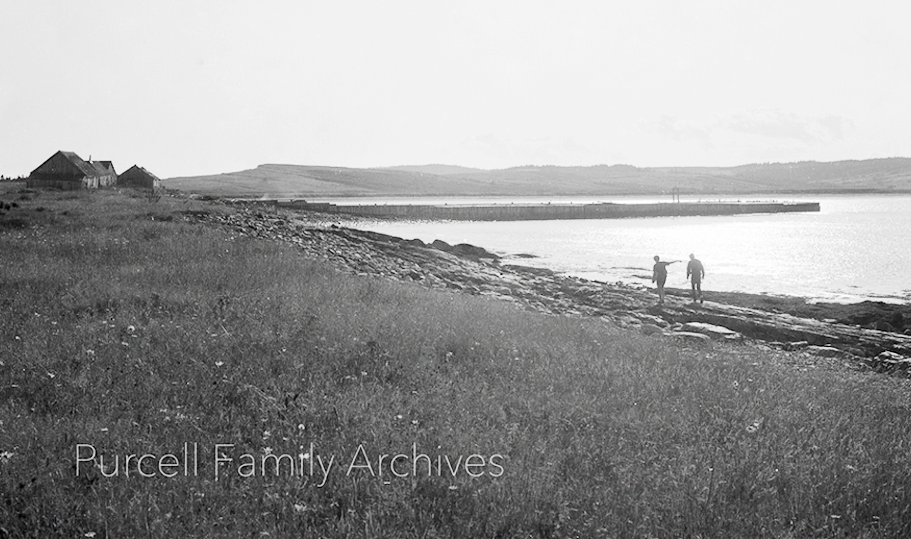
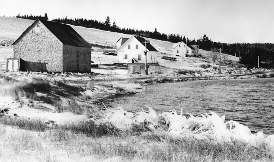
PHOTO 3 -
PHOTO 4 -

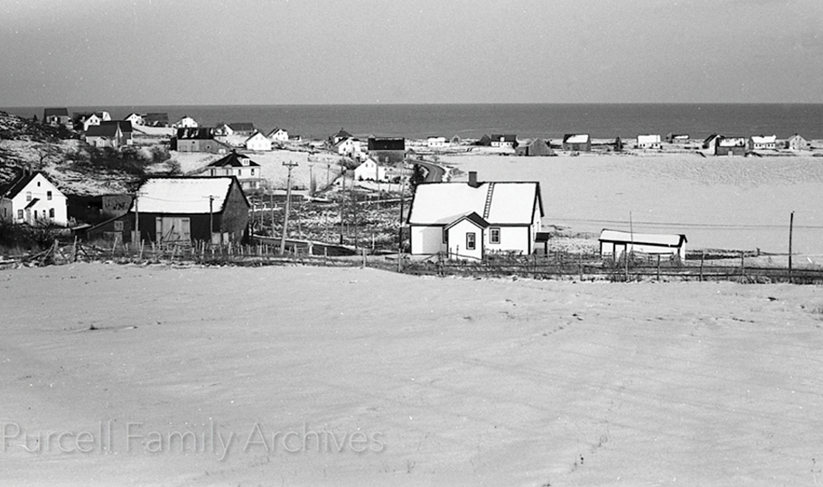
PHOTO 5 -
PHOTO 6 -
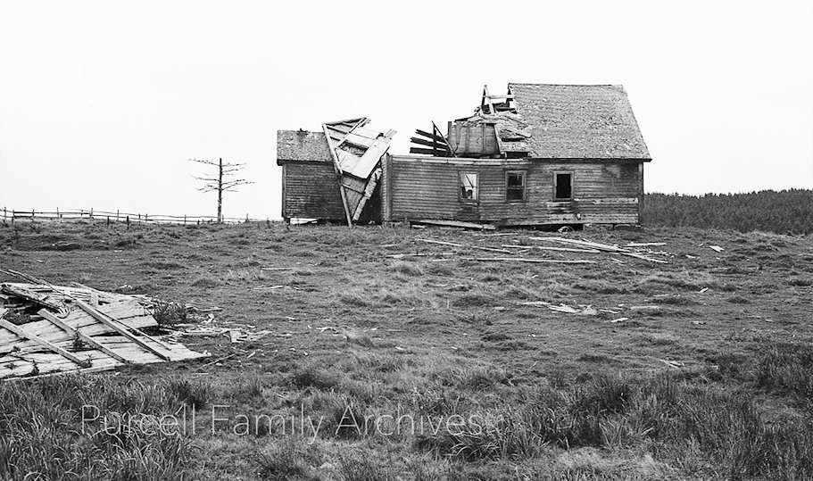
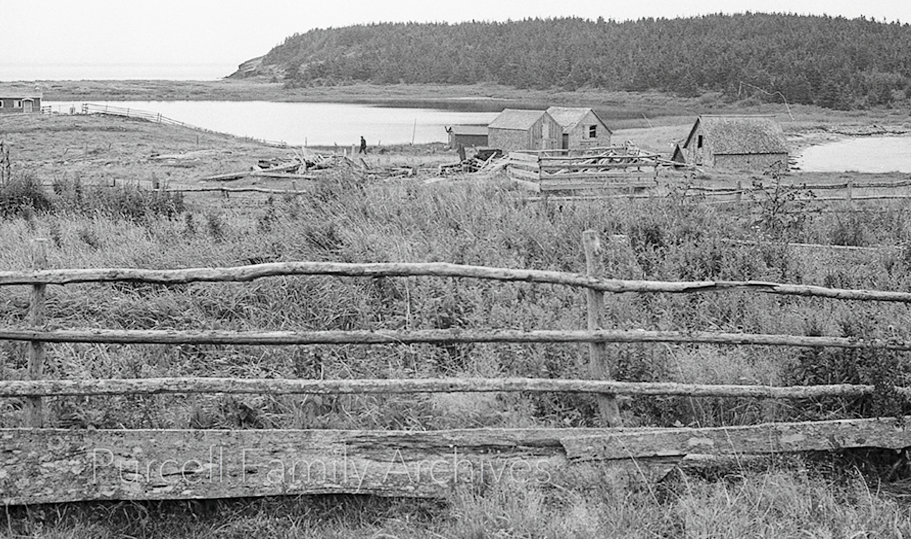
PHOTO 7 - .
PHOTO 8 -
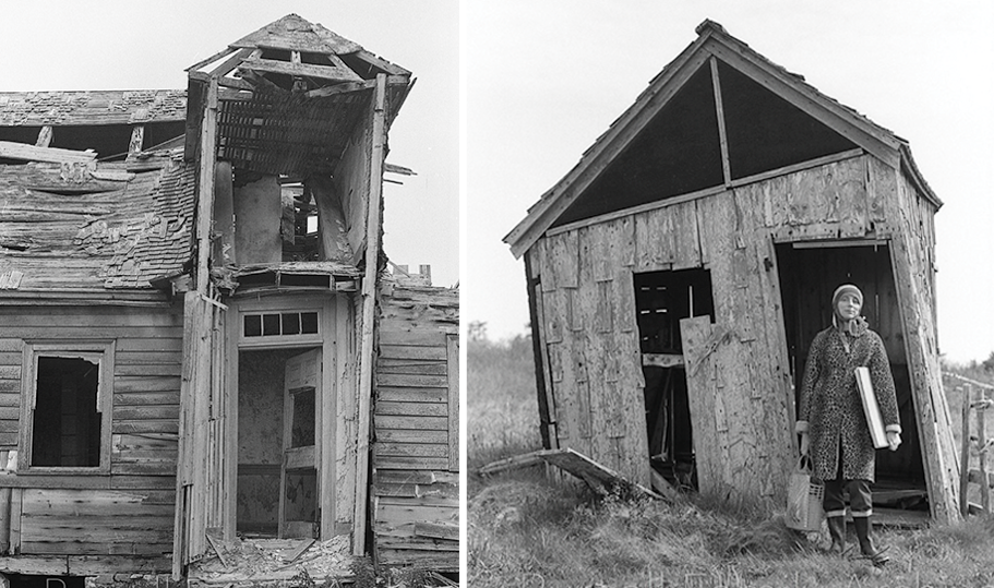
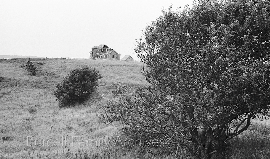
PHOTO 9 - .
PHOTO 10 -
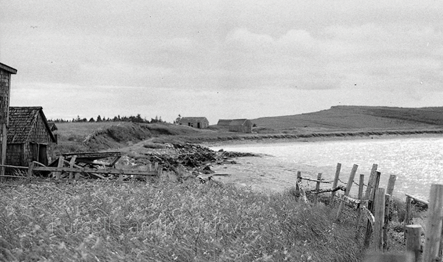
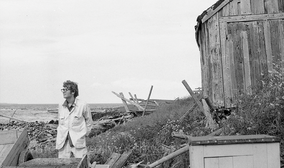
PHOTO 11 - .
PHOTO 12 -
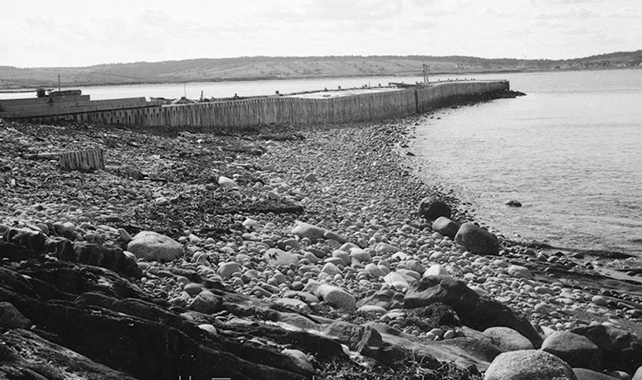
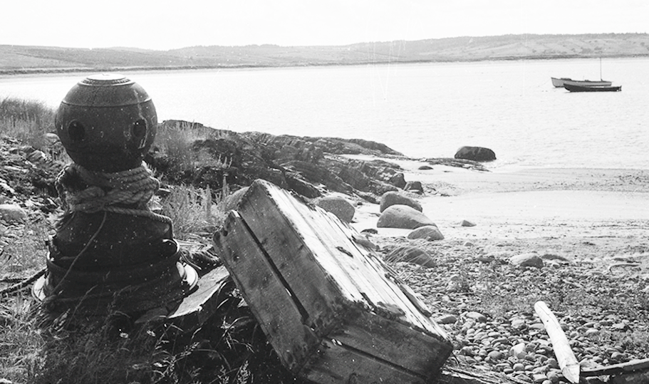
PHOTO 13 - .
PHOTO 14 -
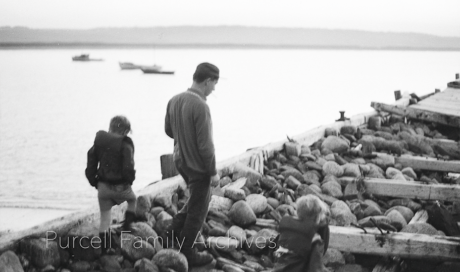
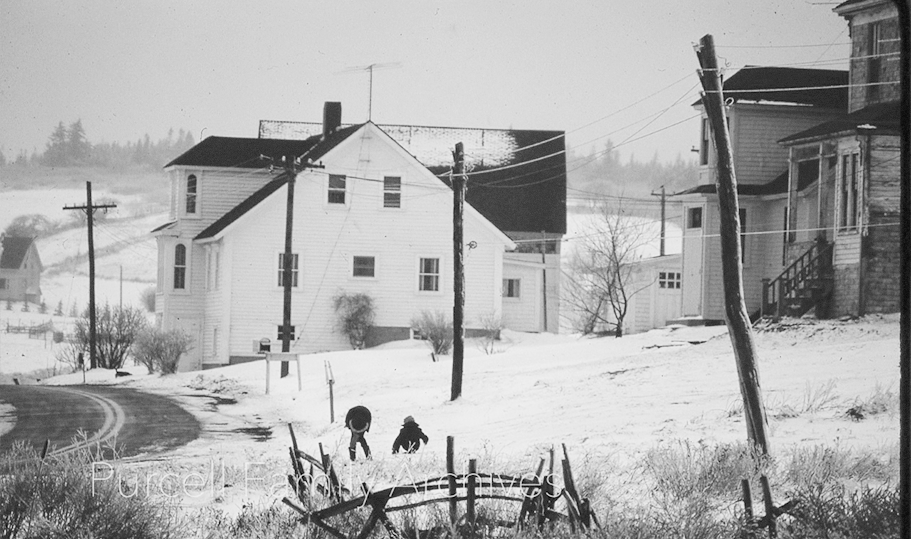
PHOTO 15 - .
PHOTO 16 -
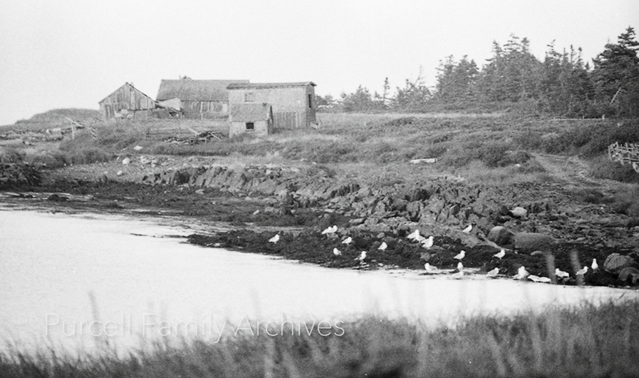
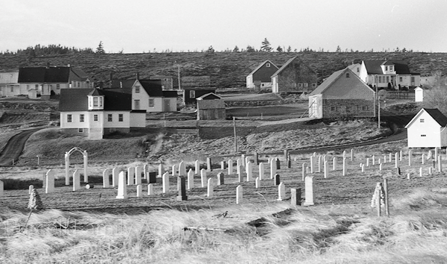
PHOTO 17 - .
PHOTO 18 -
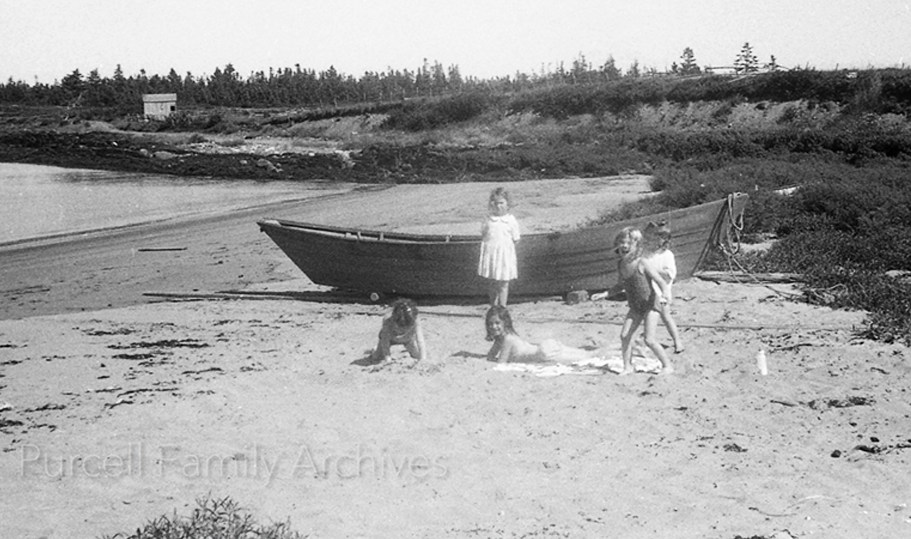
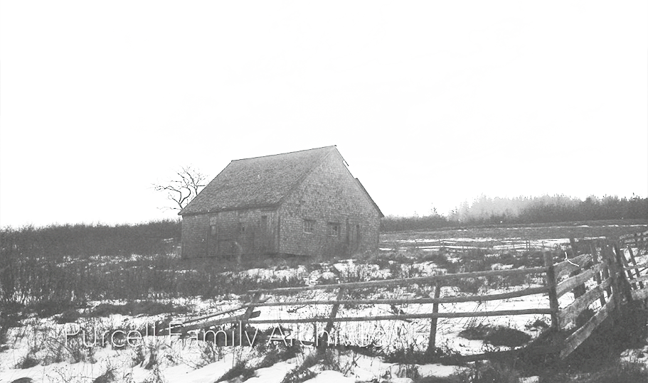
PHOTO 19 -
PHOTO 20 -
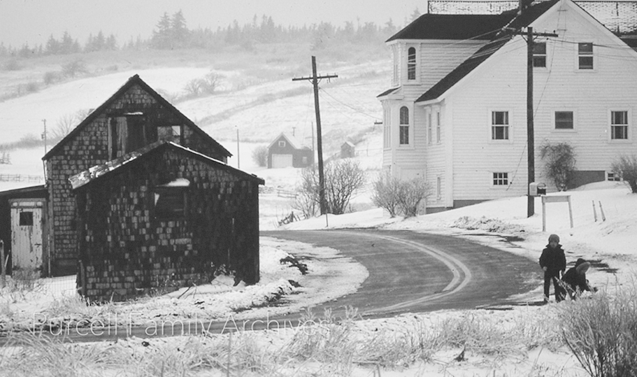
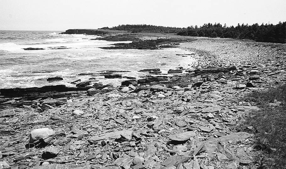
PHOTO 21 - .
PHOTO 22 -
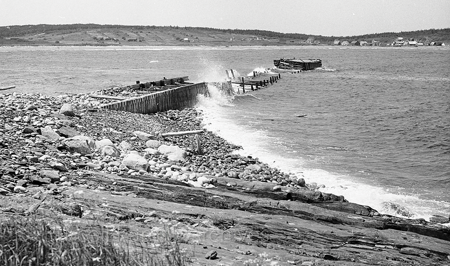
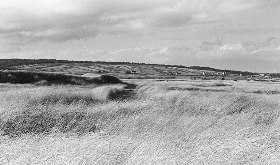
PHOTO 23 - .
PHOTO 24 -
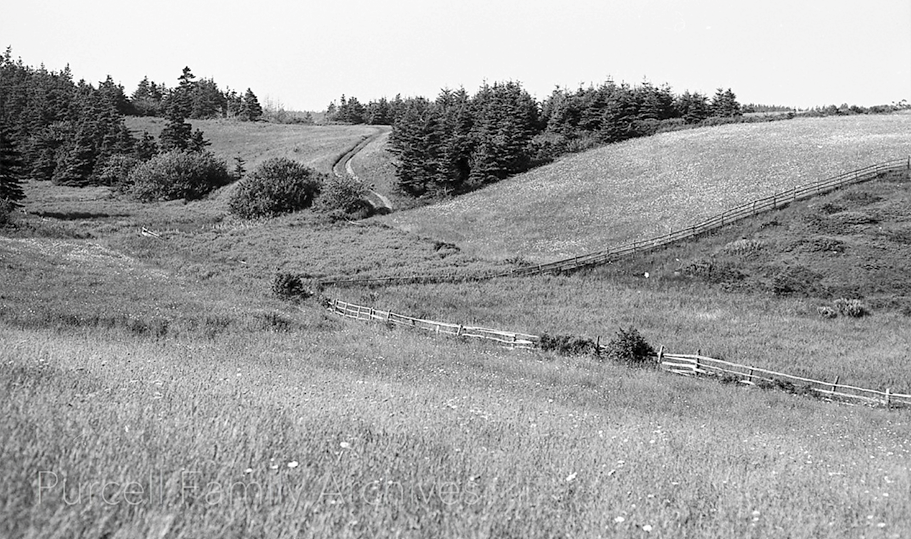
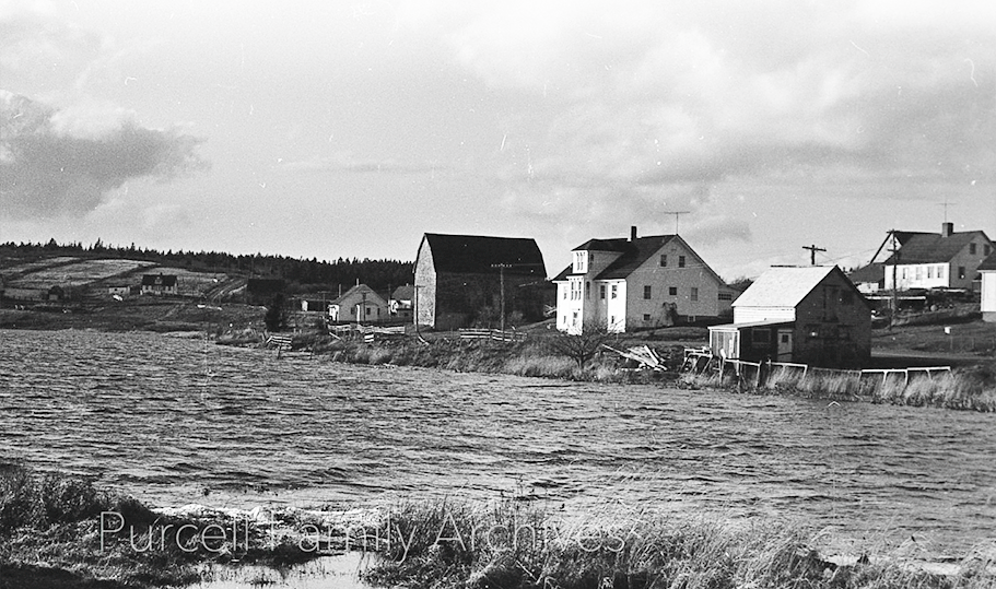
PHOTO 25 - .
PHOTO 26 -
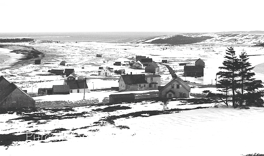
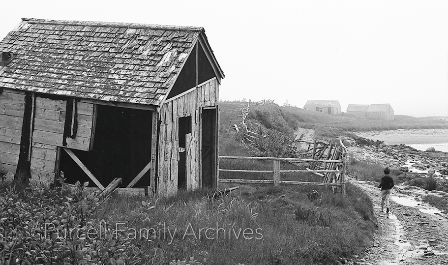
PHOTO 27 - .
PHOTO 28 -
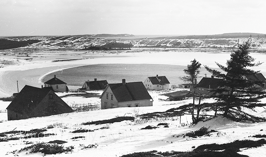
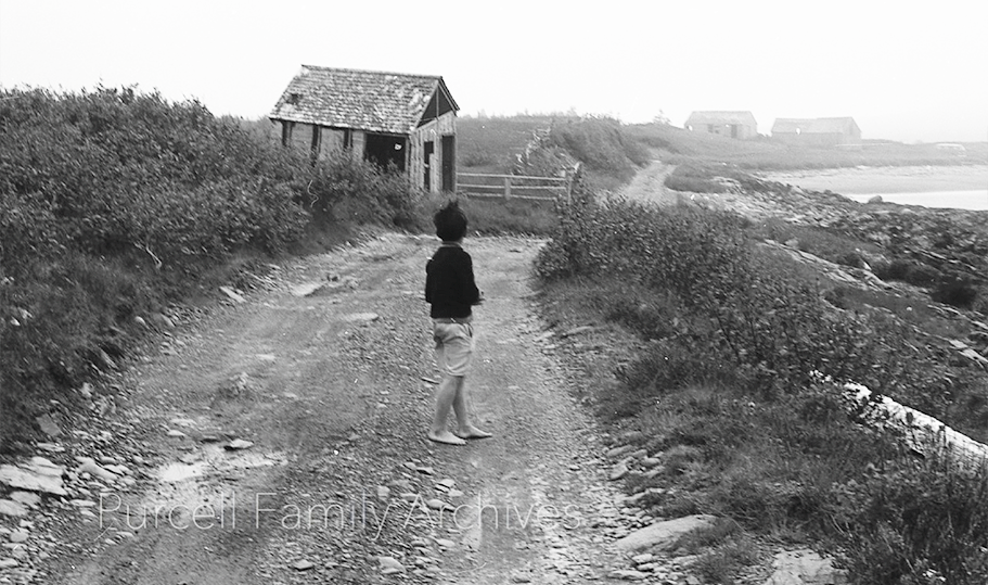
PHOTO 29 - .
PHOTO 30 -
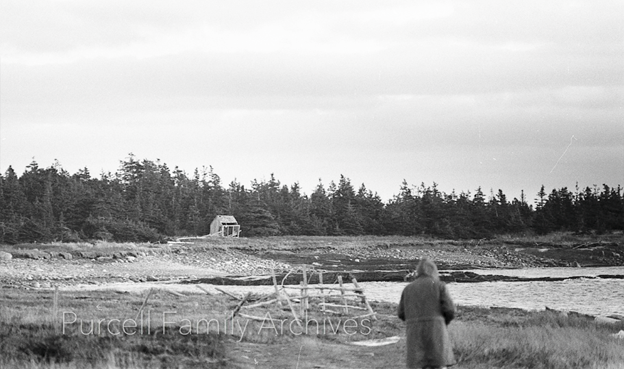
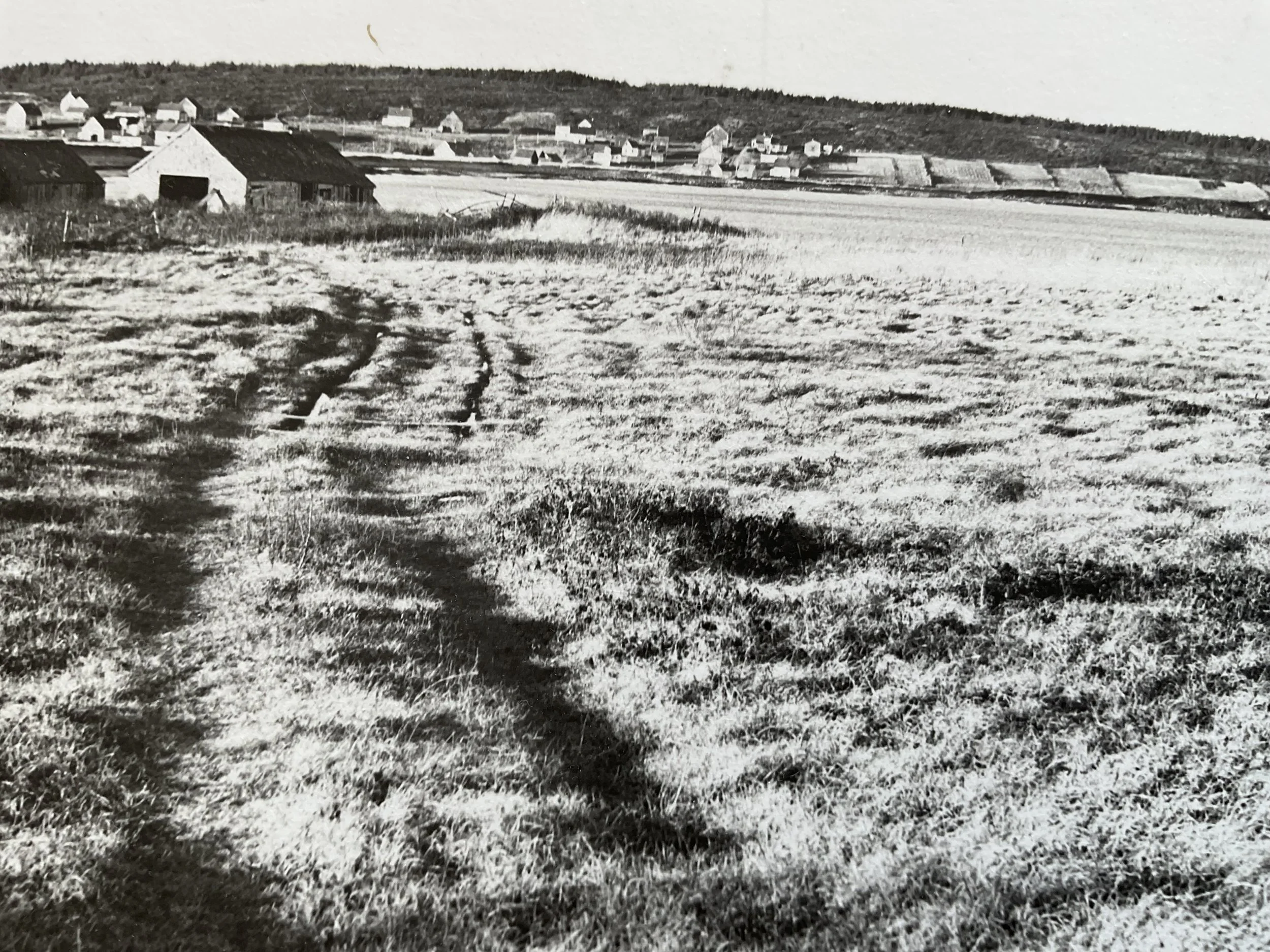
PHOTO 31 - .

Example of Hover Text Image #1

Example of Hover Text Image #2